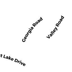
302 LOST LAKE DR
Owner Information
JONES, TIMOTHY
302 LOST LAKE DR
GROTON, MA 01450


Property Details
302 LOST LAKE DR is classified as a IMPUTED - Single Family Residential (Conv/ old sty).
The primary structure on this property was built in 1935. There are 1,184ft2 of built area within this property. There is 592ft2 of residential/living space within this property. This property is listed as having 3 rooms.
302 LOST LAKE DR is valued at $273,600. The land is valued at $261,200 and the structures are valued at $10,300. There is an additional valuation of $2,100 on this property.
This property is in Zone RA. Confirm with local Zoning Board authorities to ensure there are no overlays or other easements on this property.
The most recent deed for 302 LOST LAKE DR is recorded at the local registrar in Book 51712, Page 266. 302 LOST LAKE DR was last sold on Tuesday, September 23, 2008 for $170,000.
Assessment data from fiscal year 2021.
Flood Data
This property is partially within the A Zone (within floodplain). Approximately 0.24 acres (69.34%) of the property is within this zone.
This information is sourced from the FEMA National Flood Hazard Layer. See our full disclamer.
Broadband Internet Providers
| Provider | Type | Bandwidth (mbps) | |
|---|---|---|---|
| Verizon New England Inc. | Fiber | 940 | 880 |
| Viasat Inc | Satellite | 100 | 3 |
| Verizon New England Inc. | DSL | 10 | 1 |
| Charter Communications Inc | Cable | 940 | 35 |
| T-Mobile | Fixed Wireless | 25 | 3 |
| GCI Communication Corp. | Satellite | 0 | 0 |
| HughesNet | Satellite | 25 | 3 |
| VSAT Systems, LLC. | Satellite | 2 | 1 |
Broadband service provider data from December 2020.